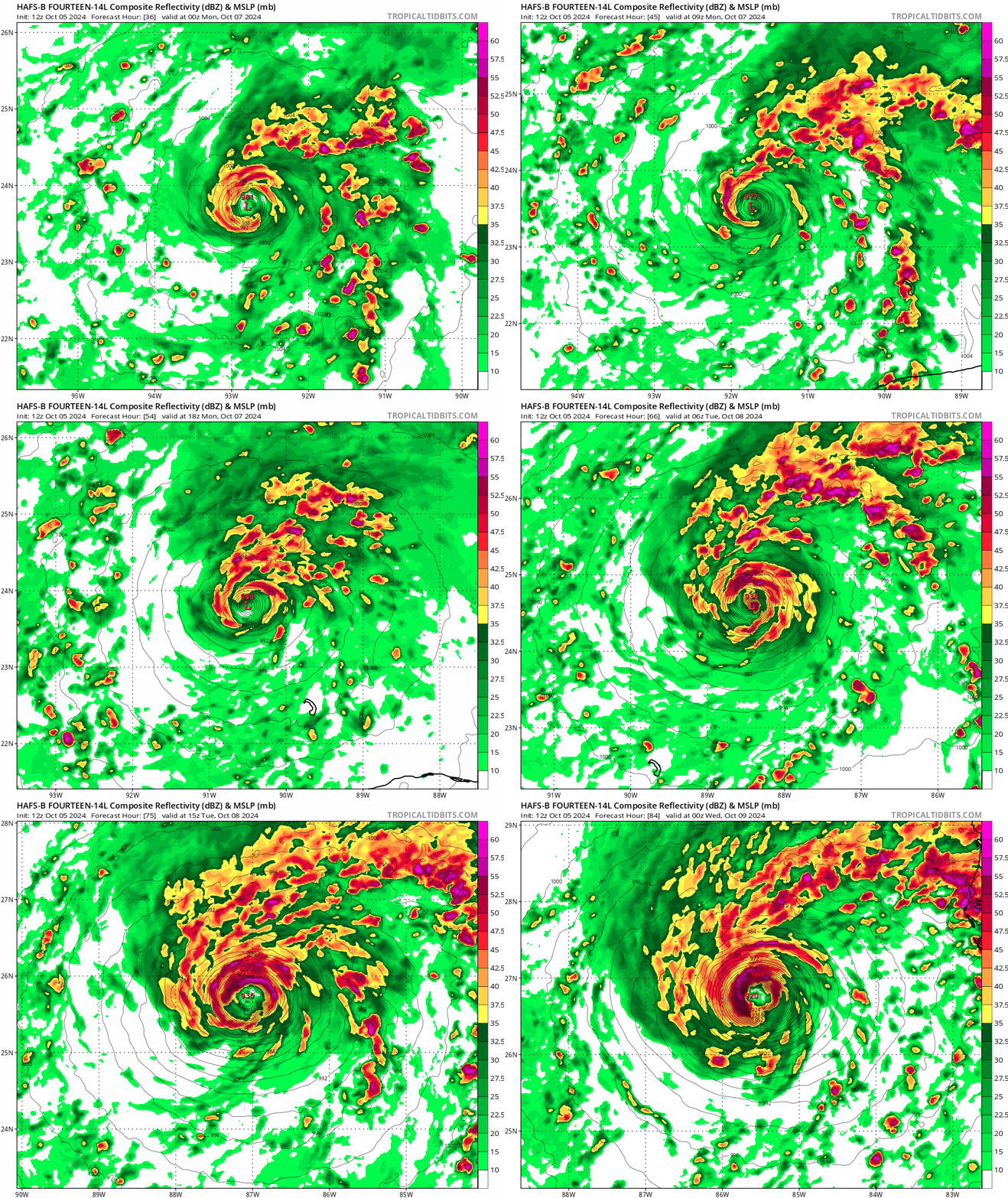
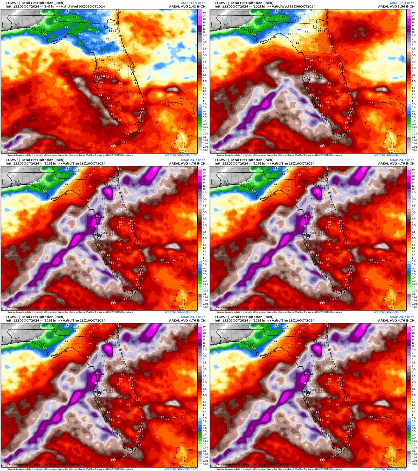
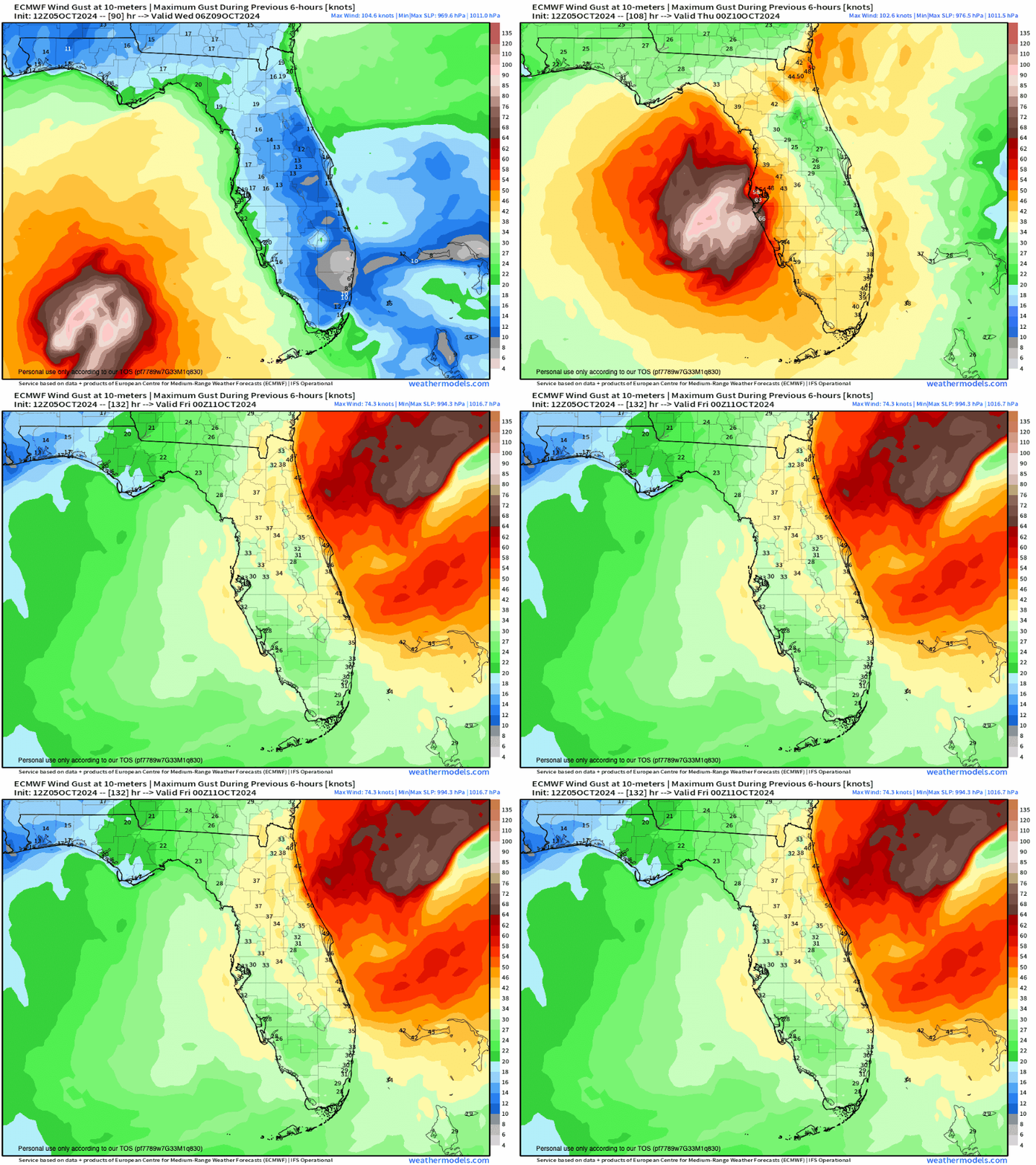
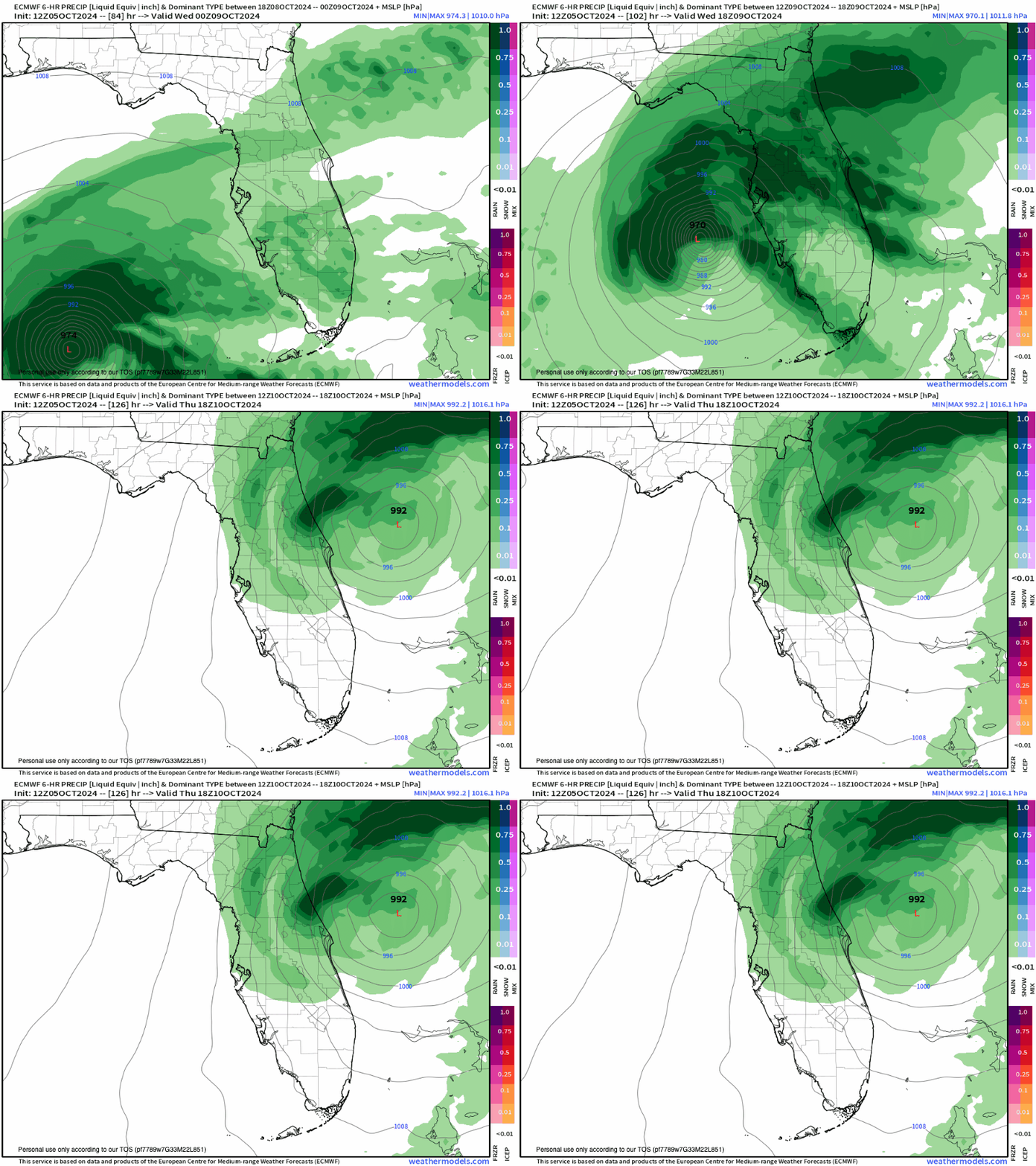
We are starting October the way September ended in the Gulf of Mexico, another major hurricane threat. By numbers this hurricane season has been extremely low compared to the forecast for record-breaking storms to form, but we are reminded it only takes one (Helene) and in this case, two (Milton-soon to be a hurricane).

It will be the same story with Milton as it was with Helene. The wind shear will be low and the ocean heat content will be high. It's a bad recipe for disaster to Floridians. This storm will strike anywhere from Cedar Key down to Tampa or even Ft. Myers. It's going to get stronger very quickly, too. It's time to put your hurricane plan in place.
Getting hit with one major hurricane in a season is bad enough, but two reminds me of Louisiana 2020, they just kept coming.

The forecasted infrared satellite shows the eye forming well before striking the peninsula. I expect this storm to get up to category 4 status at least. I don't use the word catastrophic lightly, but at this point it's well within reach. I say that so you can prepare now. Take this storm seriously. Get out of the way if you can.
Storm surge and wind at the northeast quadrant of the storm will be devastating. Flooding will be significant on the northern and western side of the storm.


I feel for everyone in Florida !!!!